Textural Map of Sugarcane Producing areas of Santa Cruz Department, Bolivia
DOI:
https://doi.org/10.28940/terra.v41i0.1701Keywords:
clay, sand, silt, geostatistical modelAbstract
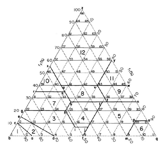
The Integrated north region of Santa Cruz department, Bolivia is an important agro-industrial zone for the production and transformation of sugar cane into derivatives of alcohol, sugar and ethanol. The area for sugar cane cultivation is in full geographical expansion, thus, the objective of our study was to determine the texture classes of the soils planned for intensive production and future expansion. For this purposes, the counties of greatest interest are Portachuelo, Montero, Warnes, Saavedra, Mineros, Fernández Alonso, Colpa Bélgica and San Pedro. We used the soil texture classification proposed by the United States Department of Agriculture (USDA). The texture map was computed using the ordinary Kriging geostatistical model. In the study area, 459 soil samples were collected, which were classified into nine out of 12 textural classes established by USDA. Three percent of the textural classes were coarse textured soils (sand, sandy loam), 77% were medium soils (sandy loam, loam, silt loam and silt) and 20% were clayed soils (clay loam clay, clay loam, silty clay loam, sandy clay, silt clay and clay). According to literature, medium-textured soils are the most suitable for the cultivation of sugarcane, which was the predominant soil texture in our study area (sandy loam = 115, sandy loam = 86 and silt loam = 153).
Downloads