Identification of Hotspot Areas Due to Water Erosion in the Tejalpa River Basin, Central Mexico
DOI:
https://doi.org/10.28940/terra.v42i0.1827Keywords:
RUSLE, soils, land useAbstract
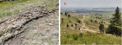
The Tejalpa river basin has an extension of 21 748 ha. It originates from the hillsides Area de Protección de Flora y Fauna Nevado de Toluca (APFFNT), and ends in the Parque Estatal Sierra Morelos (PESM), both of are representative protected natural areas at the state level and that helps improve environmental and landscape conditions in Toluca. The Tejalpa river basin has been subjected to an urbanization process, being part of the Toluca metropolitan area, which has caused erosion and landscape loss. The objective of the study was to identify the critical areas of soil water erosion (in its sheet or rill forms), through the Revised Universal Soil Loss Equation (RUSLE). The Revised Universal Soil Loss Equation (RUSLE) methodology is based on the following factors: rainfall erosivity (R), soil erodibility (K), length and grade of slope (LS), cover management (C) and conservation practices (P). The results showed that 41% of the basin has a moderate erosion 10 to 50 Mg ha-1 year-1 which is equivalent to an area of 9004 ha, while the areas with critical erosion >200 Mg ha-1 year-1 represent 7.14% of the total basin with an extension of 1 553 ha, which translates into the presence of soils with little plant protection, areas with steep slopes, heavy rainfall; these imply low yields in agricultural production, silting of bodies of water and flooding in urban areas.
Downloads
Publication Facts
Reviewer profiles N/A
Author statements
- Academic society
- Terra Latinoamericana
- Publisher
- Mexican Society of Soil Science, C.A.
